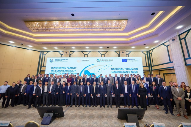
National Forum on Spatial Data Held in Uzbekistan
National Forum on Spatial Data Held in Uzbekistan
Tashkent, Uzbekistan (UzDaily.com) — The Cadastre Agency under the Ministry of Economy and Finance of Uzbekistan, in cooperation with the World Bank and the European Union, held a National Forum dedicated to the application of spatial data infrastructure in the country.
The event focused on the role of spatial data—information about the location, shape, and other characteristics of objects—in the cadastral system, as well as its contribution to the digital transformation of the economy, urbanization processes, and adaptation to the impacts of climate change.
Forum participants were presented with new projects for the development of the National Spatial Data Infrastructure (NSDI), implemented with financial support from the EU and the World Bank.
More than 150 representatives from ministries and agencies, local authorities, international organizations, the expert community, and the private sector participated in the forum. They discussed NSDI development plans aimed at the transparent collection, storage, management, and exchange of spatial data, the integration of national and regional databases, and the strengthening of interagency cooperation.
Special attention was given to the digitalization of the cadastral system, the development of unified standards, and the study of best practices from EU countries and other nations.
The Government of Uzbekistan has identified the application of spatial data as a priority area of development. Access to up-to-date information enables authorities to make informed decisions in economic planning, land management, natural resource allocation, infrastructure project planning, transport network development, and business support. All of these measures contribute to the sustainable and balanced development of the country’s regions.
During the forum, two new projects were launched. The first, “Development of Spatial Data Infrastructure for Sustainable Territorial Development,” is being implemented by the Cadastre Agency with financial support from the World Bank totaling US$35 million. The project aims to modernize the national cadastral system, increase accessibility of spatial data for businesses and citizens, digitalize the NSDI, create basic cadastral maps, establish a register of engineering communications, and strengthen the capacity of regional authorities in spatial data management.
The second project, “Digitalization and Integration of the National Spatial Data Infrastructure,” is financed by the EU and implemented by the World Bank for over €6.6 million. It complements the first project by improving spatial data management methods and developing capacity at both national and regional levels.
Both projects support the implementation of regional development reforms outlined in the “Uzbekistan–2030” strategy, including programs for accelerated integrated development of districts and cities. They also lay the groundwork for the launch of the “Liveable and Productive Cities of Uzbekistan” program, valued at US$400 million, which is being developed by the World Bank.